Academic, watershed, NGO, consulting, and leadership experience connecting environmental science with practice.
My professional experience spans academia, watershed management, international development, consulting, and organisational leadership. Across these settings, I connect environmental evidence with practical decisions.
PhD research in precision conservation, agricultural water quality, geospatial analysis, machine learning, and process-based modelling. Graduate Research Assistant, May 2024–August 2026; Graduate Teaching Assistant, September 2022–April 2024.
Analysed long-term water-quality data using statistical and machine-learning approaches, supporting watershed interpretation and monitoring and quality-assurance planning.
Coordinated a research portfolio and the Locally Led Adaptation Program, including partnerships, resource mobilisation, capacity development, and research communication.
Research and assessments on climate-resilient seeds, bio-pesticides, sustainable agricultural investment, ESG, financial inclusion, and smallholder digital services.
Led project development, climate-adaptation implementation, environmental and social safeguards, and climate-smart agriculture initiatives. Built partnerships and contributed to institutional climate-resilience frameworks.
GIS analysis and mapping for wildlife conservation planning and Vulture Safe Zone initiatives.
Teaching and mentoring
As a Graduate Teaching Assistant at the University of Guelph (September 2022–April 2024), I supported five undergraduate geography courses through laboratories, seminars, student consultations, assessment, and hands-on GIS instruction.
Teaching approach
My teaching focus is practical: helping students connect environmental questions with data, maps, and clear reasoning. My experience includes explaining GIS workflows, helping students resolve technical problems, and providing detailed feedback on laboratory work.
Applied learning: connect geographic concepts with hands-on analysis and environmental questions.
Useful feedback: explain how work can improve, alongside assessment and grading.
Student support: make room for questions and help students work through technical difficulties.
Courses supported
GEOG*1350Earth: Hazards and Global Change
GEOG*2000Geomorphology
GEOG*3000Fluvial Processes
GEOG*2480Mapping and GIS
GEOG*3480GIS and Spatial Analysis
Evidence of teaching effectiveness
Selected anonymous feedback from GEOG*3480 highlights technical support and detailed laboratory feedback.
“Excellent TA who was able to handle all technical issues and problems thrown his way”
My teaching interests include GIS and geospatial analysis, environmental modelling, watershed science, agricultural sustainability, and environmental decision support. Remote sensing and GeoAI (AI for geographic data) are developing areas for future teaching.
My future teaching development will focus on clear instructions, practical tasks, constructive feedback, and support for students with different levels of technical experience.
Leadership and science–policy practice
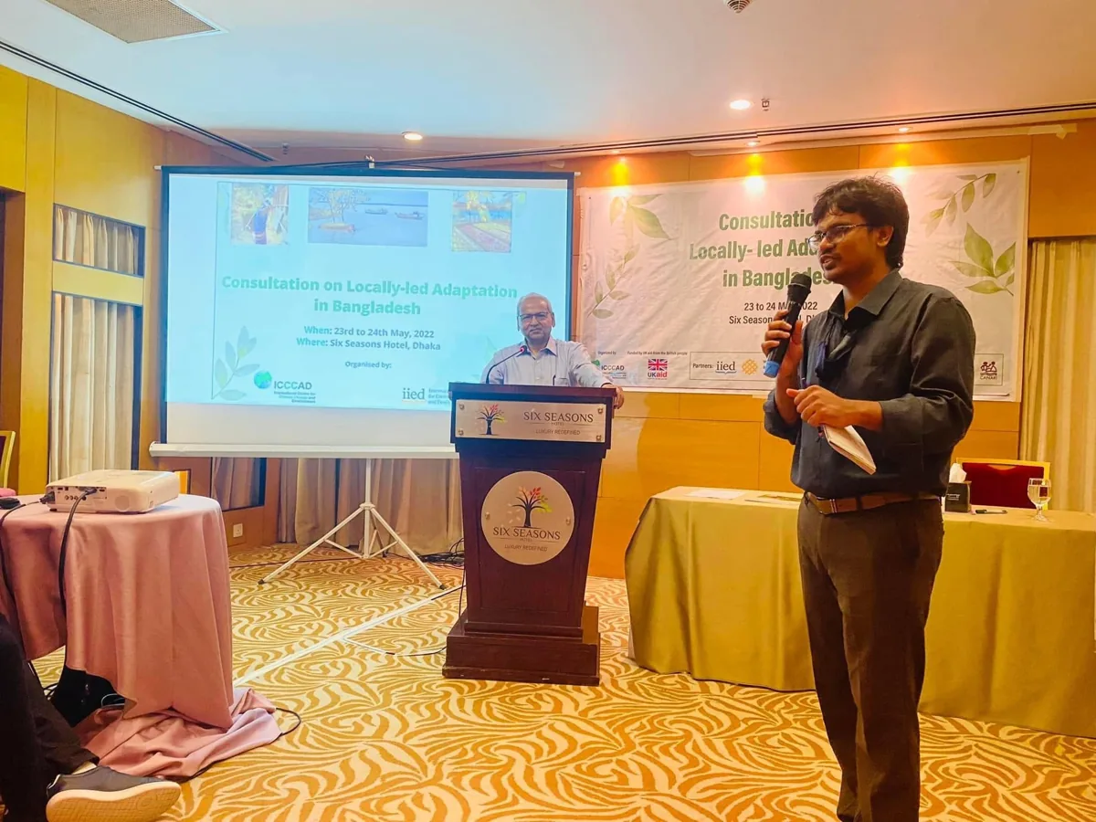
Speaking during a professional consultation.
My work at BRAC and ICCCAD connects research with implementation through:
Partnerships: work across research, policy, and implementation teams.
Programme development: coordinate teams, develop proposals, and mobilise resources.
Research communication: connect environmental evidence with practical decisions.