01 · Measure & map
Environmental quality, water resources & spatial risk
Groundwater and water quality → GIS and geostatistics → understanding spatial environmental risk.
Accumulating expertiseMeasurement & mapping
My research has developed through three overlapping emphases. Each adds methods and perspective to the work that came before.
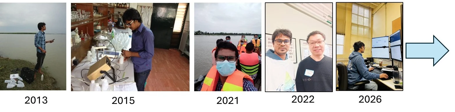
01 · Measure & map
Groundwater and water quality → GIS and geostatistics → understanding spatial environmental risk.
Accumulating expertiseMeasurement & mapping
02 · Adapt & connect
Climate adaptation → community and institutional practice → connecting evidence with implementation.
Accumulating expertiseMeasurement & mapping + adaptation practice
03 · Predict & decide
Watershed monitoring and modelling → machine learning → conservation planning → adaptive decision support.
Accumulating expertiseMeasurement & mapping + adaptation practice + modelling
Common thread: environmental evidence → spatial understanding → better decisions.
2026 onward → Developing research program
Resilient agricultural landscapes and sustainable food production.
Explore Research Lab →